Search for Staff
- Home
- Contact Details

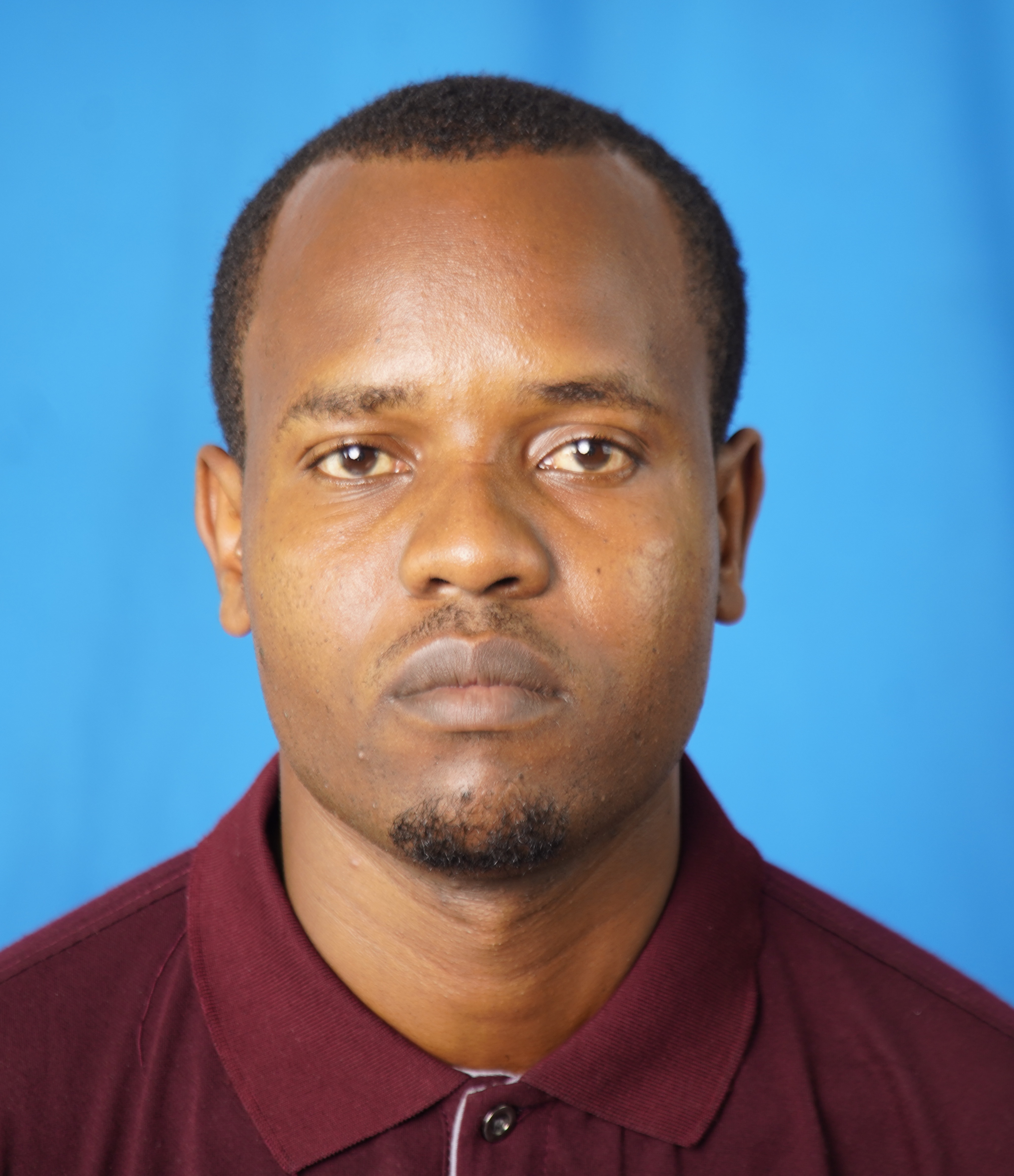
GODWIN JOHN KANDA
Assistant Lecturer in the Department of Geography and Economics, Dar Es Salaam University College Of Education
Education:
Bachelor of Arts in Geography and Environmental Studies and Master of Arts in Geographical Information Systems from the University of Dar es Salaam.
Teaching:
Applied Quantitative Methods in Geography, Methods in Geographical Information Systems, Geospatial Decision Support Systems, Remote Sensing Methods, Cartography and geo-visualization, Environmental Change Modelling, Participatory Geographical Information Systems, Digital Image Processing and Interpretations, Geographical Research Methods, and Advances in GIS.
Research:
The role of Geospatial Technology in Land Use Conflict Management.

